Subscribe
GIS services
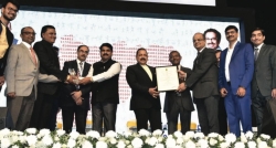
Bihar Gets Gold Medal for I-BHUGOAL [Bihar Infrastructure Mapping- Geomatics Oriented Application Model] in NATIONAL E-GOVERNANCE AWARD 2012-13
BIHAR GETS GOLD MEDAL FOR “I-BHUGOAL [Bihar Infrastructure Mapping- Geomatics Oriented Application Model] ” in NATIONAL E-GOVERNANCE AWARD 2012-13 in category “Innovative use of Technology in E-Governance” given by Ministry of Personnel and Administrative Reforms and Ministry...
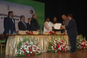
Book on Empowering India through Geospatial Technologies, Select Stories released by FICCI and Geospatial Today
A book titled “Empowering India through Geospatial Technologies – Select Stories” was jointly released by Dr. T Ramasami, Secretary, Department of Science & Technology and Dr. Shailesh Nayak, Secretary, Ministry of Earth Sciences, Government of India on 15th January 2013 in the...
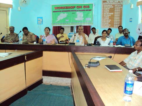
WEB GIS INAUGURATION AT GAJAPATI ORISSA
The major part of the Gajapati district Orissa belongs to hilly terrain lush green forests and undulated topography, which is inhabited by the tribal communities. Forest covers 2301.98 Sq. km approx. 60 percentage area of the total area of the district 3850.00 Sq. km.. It has 1528 villages having...
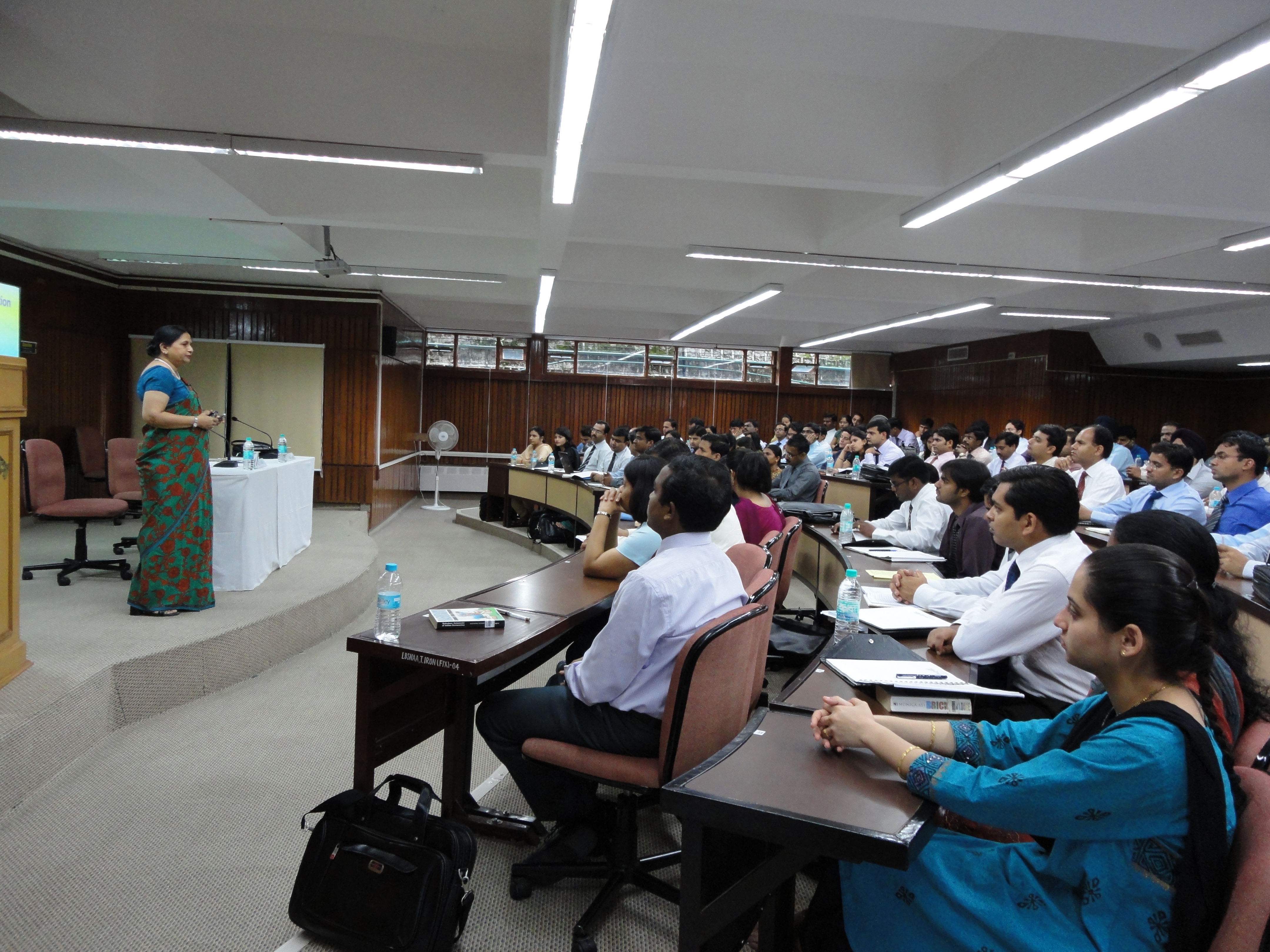
GIS SESSION AT LBSNAA, MUSSOORIE
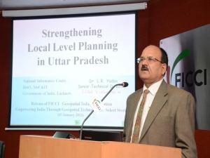
A session on Geographic Information System (GIS) Technology had been delivered at Lal Bahadur Shastri National Academy of Administration, Mussoorie by Dr. Vandana Sharma, Head, Remote Sensing and GIS Division, and Deputy Director General, National Informatics Centre, New Delhi on 14th July...
Haryana State - Bringing transparency & accountability in delivery of Citizen Services
NIC Haryana with innovative and out-of-the-box thinking converted the State into a digitally empowered and knowledge economy. Integrated solutions for cashless, paperless and faceless ensured the wide range of quality services delivered in a fast-track, hasslefree and time-bound manner,...

 Flipbook
 PDF (4.5 MB)