Geomatics
Odisha Geo-Portal - A G-Governance initiative in Odisha
Odisha Geo-Portal (https:// gisodisha.nic.in) was designed and developed by Shri Bijaya Kumar Samal, Scientist-D, GIS Division, NIC, Odisha State Unit, Bhubaneswar. It was inaugurated by Shri P. K. Pramanik, DDG & SIO, Odisha on 19th November, 2016 in the Conference Hall of NIC. In this...
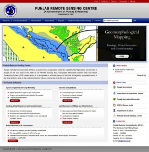
PUNJAB REMOTE SENSING CENTRE
Punjab Remote Sensing Centre is an autonomous organization that functions under the aegis of the Department of Agriculture, Government of Punjab. The key role of the organization is to undertake, promote, coordinate, aid and guide research and development in the area of remote sensing in...
Book on Empowering India through Geospatial Technologies, Select Stories released by FICCI and Geospatial Today
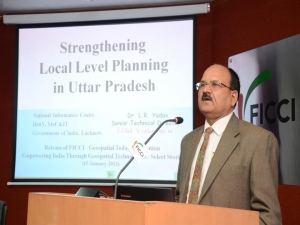
A book titled “Empowering India through Geospatial Technologies – Select Stories” was jointly released by Dr. T Ramasami, Secretary, Department of Science & Technology and Dr. Shailesh Nayak, Secretary, Ministry of Earth Sciences, Government of India on 15th January 2013 in the...
Use of Hybrid Survey Methodology and Bhu-Sarvekshan Software for Resurvey in Bihar
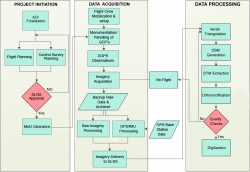
The Bihar state - spread over approx. 94163 sq. Km area, has an administrative setup comprising of 9 divisions, 38 districts, 101 subdivisions, 534 circles and 45,700 mauza(s) i.e. revenue villages. The very first survey of land i.e. Cadastral Survey (CS) of the state was conducted almost a century ago....
Empowering People Participation in Decentralized Planning Process through INTEGRATED SPIDER & e-MANCHITRA GEO PORTALS
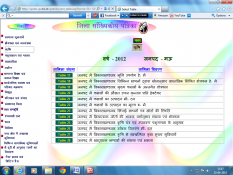
To overcome the maladies affecting the manual system and to reduce the workload and to increase the efficiency, transparency, visualization; SPIDER & e- MANCHITRA portals have been developed and integrated. The integration of SPIDER & e-MANCHITRA Geo portals has made information visualization easier,...


 Subscribe

 Flipbook
 PDF (5.0 MB)
