Map
Chhattisgarh to have unique Identification of Land parcels. Revenue Secretary Launches ULPIN
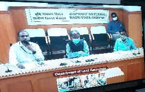
On 23rd June 2021, Ms. Reeta Shandilya, Secretary, Revenue & Disaster Management, Govt. of Chhattisgarh launched the ULPIN (Unique Land Parcel Identification Number) utility for Chhattisgarh in the virtual presence of Shri Ajay Tirkey, Secretary, DoLR, Govt. of India, Shri Hukum Singh Meena, Addl....
Training on Bhunaksha held at Jharsuguda, Odisha
Training programme on Bhunaksha software on map correction was held in the DRDA Conference hall, Jharsuguda, Odisha on 09/08/2017 for all the 5 Tahasil officials and 32 RI officials of Jharsuguda District. The training programme was organized by NIC, District, Unit, Jharsuguda. The main objective...
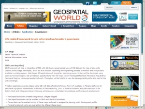
Paper contributed by Sh G.P. Singh, STD, NIC, U.P State Unit, Lucknow published in Geospatial World 2013
A paper titled ‘GIS-enabled framework for geo-referenced works under e-governance’ contributed by Shri G.P. Singh, Senior Technical Director, Director, National Informatics Centre, U.P. State Unit, Lucknow has been published in May 2013 issue of Geospatial World Weekly. The paper...
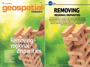
e-Manchitra and Spider projects of Uttar Pradesh published in May 2013 issue of Geospatial Today
‘Removing Regional Disparities’ – an article contributed by Dr L.R Yadav, Senior Technical Director and Shri R.S Singh Principal System Analyst, NIC, Lucknow was published as the cover story in one of the leading magazines of GIS in India - ‘Geospatial Today’. The magazine...
Gram Manchitra Transforming Rural India with Geo-Spatial Technology
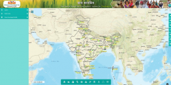
Gram Manchitra is a GIS-based platform designed to empower rural governance and planning. It integrates geospatial data with existing schemes to provide visual insights for effective decision-making at the grassroots level. From mapping resources to tracking development projects, Gram Manchitra...


 Subscribe


 Flipbook
 PDF (5.0 MB)
