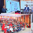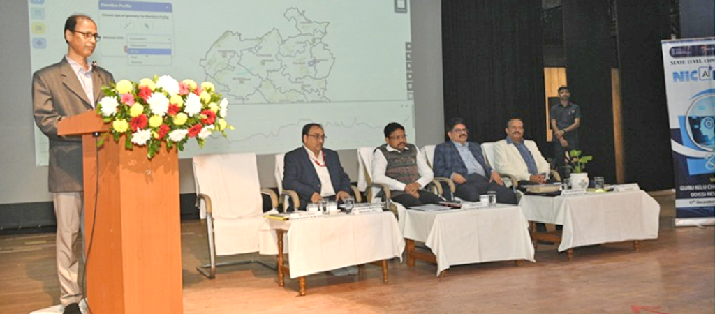
The Odisha District Geo-Portal, a comprehensive GIS-based platform covering all 30 districts of the state, was launched on December 17, 2025, by Dr. Mukesh Mahaling, Hon’ble Minister for Electronics & IT, Health & Family Welfare, and Parliamentary Affairs. The launch took place during the District Informatics Officers (DIO) Conference in Bhubaneswar.
The portal integrates multiple spatial and non-spatial datasets, including administrative boundaries, natural resources, communication networks, agricultural assets, and sector-specific data. Designed as a single access point for district-level geospatial information, the platform aims to support planners and administrators in data-driven decision-making, planning, and monitoring.
Speaking at the event, Dr. Mahaling highlighted the growing role of geospatial technology in governance and its potential to enhance transparency, efficiency, and policy formulation.
Senior officials including Dr. Pradeep Kumar Rout, Special Secretary, Electronics & IT Department and CEO, OCAC, and Dr. Ashok Kumar Hota, Deputy Director General & State Informatics Officer, NIC Odisha, were present along with officers from NIC’s state and district units.
Officials said the Geo-Portal marks an important step toward leveraging GIS technology to strengthen governance and public service delivery in Odisha.